ChatGPT: Convert Word Document into PowerPoint Slides

Thanks for the powerful ChatGPT which understands the context of a large document! Today, we will explore how to convert a Word document into PowerPoint presentation. You will enjoy the summarized bullet points and slides by ChatGPT. 🙂

I usually create PowerPoint presentation based on the solution design document that I created earlier. It may require some efforts to summarize the document and put bullets into PowerPoint. Since ChatGPT understands the context and it’s free of charge, why don’t we utilize ChatGPT to help here?

Here are your prerequisite tools:

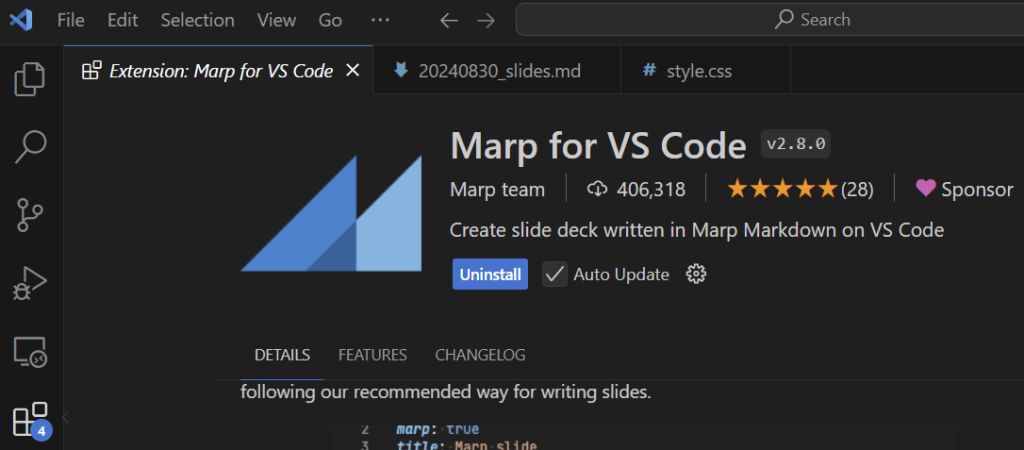
Marp for VS Code Installed
  1. ChatGPT;
  2. Visual Studio Code (VS Code) – You need install it if you don’t have;
  3. VS Code extension: Marp for VS Code – You need install it if you don’t have.

Here are the steps:

ChatGPT Output
  1. Upload your MS Wor...
Read More

How to Implement Near Zero Downtime for Large Cloud Data Migration?

One of my clients is moving its SAP on-premise instances to the cloud. SAP offers Near Zero Downtime Technology (NZDT) to reduce the migration downtime from approx. one week to 6-60 hours (from 6pm Friday to 6am Monday). The purpose of applying NZDT is to secure business continuity. However, it’s not cheap, to pay a million-dollar bill for a weekend! If you know how, then the estimation of building your own in-house developed NZDT component should be less than 50K.

Please be aware, NZDT is neither a new technology, nor the invention of SAP. The discussion of how to implement it is all over the place on the internet. Our Architects have gained enough experience in this area during the past two decades. We have designed and developed sophisticated non-stop 24*7 data replication tool LiveSync ...

Read More

Visualizing Spatial Data in Oracle SQL Developer

As the official SQL client, Oracle SQL Developer is popular. It offers a function to view spatial data using Map View tool.

Assume you have an Oracle Spatial-enabled database, you have a Shape column with SDO_GEOMETRY data type in your spatial table. This column contains spatial data. How to see the actual map or shapes in Oracle SQL Developer?

Map View Toolbar

First, we may do a query for this spatial table, e.g. SELECT * FROM LGS_Land_Parcel_Geo.

Second, go to SQL Developer menu View \ Map View to turn on Map View panel. Click + button in the toolbar of Map View panel to open Map Query box. Insert above query statement and provide a Map Title for your query. Click OK to close the dialog box.

Map View

The map of this table shows in left Map View panel...

Read More